
Torrelles.net
Torrelles.net: from recognising a village to choosing a trail
Sant Martí church, the red rocks of Can Riera and the cherry trees share one homepage image. It gave the guide a starting point: let people recognise Torrelles de Llobregat at a glance, then help them decide what to do there.
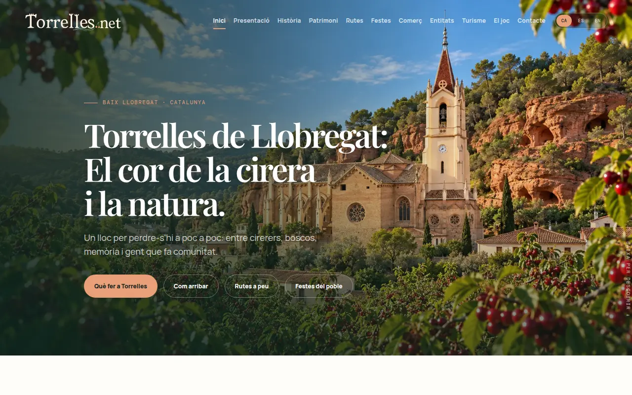
The first decision a visitor makes
The homepage offers direct routes to things to do, directions, walks and festivals. These answer different questions. A first-time visitor needs their bearings; someone who knows the village may simply want a walk for the afternoon. History and heritage have their own space for readers who want to linger.
What makes a trail listing useful
Distance alone tells only part of the story. We bring the route, duration, elevation gain or difficulty together where available, alongside a topographic map. The cherry trail covers 5.79 km with 175 m of ascent; Puig Vicenç covers 10.17 km with 400 m. That comparison helps someone choose a walk before leaving home.
Explore the trail map ↗A village guide for an ordinary weekday
The site includes a festival calendar and a directory that can be filtered by activity. Restaurants and food shops have separate categories. A resident looking for a particular shop can jump to its details, while a visitor can start with a festival and plan the rest of the day around it.
Designing for a visit from a phone
We prepared images in several sizes and editions in Catalan, Spanish and English. The landscape still leads the page, while practical information is available as text. From the same starting point a visitor can open an individual trail or look up services in the village.